













ALWAGHT- According to satellite imagery, Iran's retaliatory airstrikes inflicted considerably greater damage on US military assets throughout the region than was officially recognized by the Trump administration.
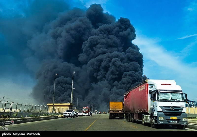
According to a Washington Post investigation based on satellite imagery analysis, Iran's missile and drone strikes since late February have damaged or destroyed at least 228 structures or pieces of equipment across 15 US military sites in West Asia. Targets included hangars, barracks, fuel depots, aircraft, radar systems, Patriot and THAAD missile defense batteries, and a satellite communications site at al-Udeid Air Base in Qatar. The damage was so extensive that some bases were deemed too dangerous for US forces at normal levels, prompting commanders to relocate most personnel.
The US pressed major satellite firms Vantor and Planet to impose restrictions on war zone imagery—including delays or withholding releases—less than two weeks into the war, making independent assessment difficult. However, Iranian news agencies have regularly published high-resolution satellite images on social media. The Post reviewed over 100 such images, verifying 109 against EU Copernicus data and available Planet images, finding no evidence of manipulation. Experts who reviewed the findings said the precision of the strikes suggests the US underestimated Iran's targeting capabilities and has not fully adapted to modern drone warfare.
The Post noted that its findings represent only a partial assessment based on available imagery. Iran's retaliatory operations have forced US military planners to rethink their strategy, including pulling troops back to safer locations. Two US officials cited by the Post indicated that US forces may never return to regional bases in large numbers, though no final decision has been made. Previous reports from NBC News and CNN had acknowledged strikes on 100 targets across 11 bases and damage to 16 US installations, respectively—figures the Post analysis significantly exceeds.